CIC
Making Use of Spatial Data to Develop Smart City

Making Use of Spatial Data to Develop Smart City

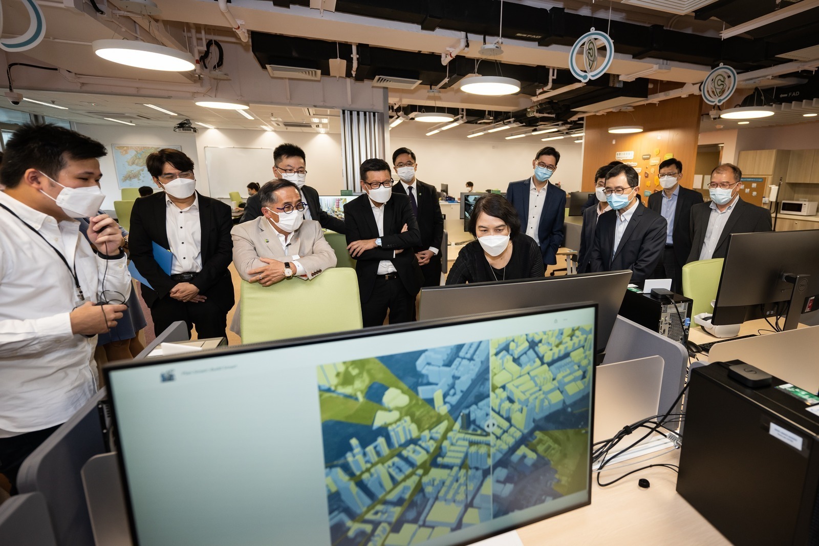
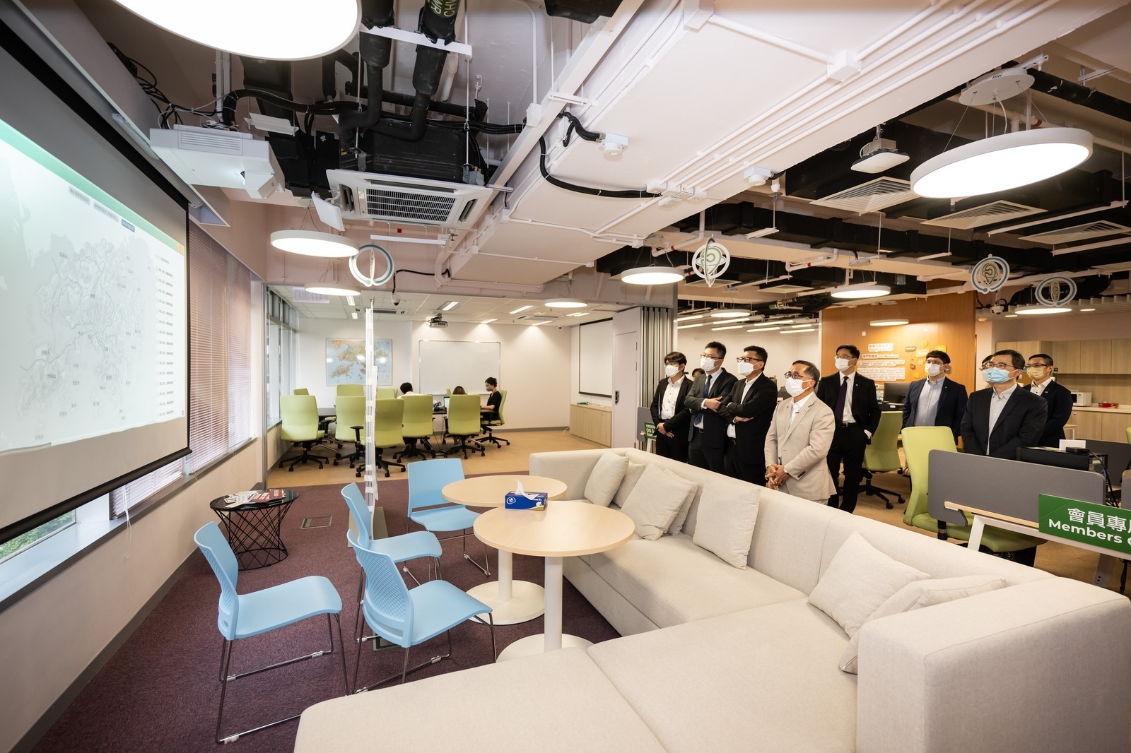
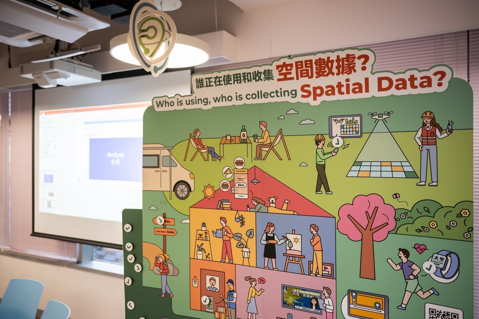
"Spatial data" may sound abstract to the general public, however they are closely related to our everyday life. Ir Thomas HO On-sing, Chairman of CIC and Ir Albert CHENG, Executive Director of CIC have visited the Geospatial Lab (GeoLab) located in Kwun Tong to understand the latest development of spatial data in Hong Kong, and had a fruitful discussion on how the construction industry could be benefited from the development of digital smart city.

The HKSAR Government published the “HK Smart City Blueprint” in 2017, which put forth different initiatives to enhance and expand existing city management measures and services. The Common Spatial Data Infrastructure (CSDI) serves as an infrastructure to provide easily accessible spatial information which could contribute to the smart Hong Kong, and it is being applied in different aspects, for instance map application on smartphones and Building Information Modeling (BIM).

Launch of CSDI Portal

As emphasised by Sr. CHAN Yue-chun, Head of Spatial Data Office (SDO), Development Bureau (DEVB), CSDI is more than a system but helps to set standards, “With the help of the policies, different Government departments were asked to submit annual spatial data plans to set out the datasets they plan to release, and we hope to standardise the data to make them more accessible.” The CSDI portal has already been made available to the public, and over 500 spatial datasets from various government departments are made available initially since end 2022. Sr. Chan said the number is encouraging and he looks forward to more high quality datasets to bring convenience to the public. "CSDI is like a supermarket that categorises different goods, information and the ways of usage are also clearly labelled. CSDI is also an infrastructure, just as the water supply system. We are not offering all kinds of drinks to the public, but we can ensure that high quality raw material, i.e. water, is offered to make drinks like iced tea.”

To explore initiatives by making use of spatial data, SDO invited more than 100 members from different sectors (academia, transport companies, professional institutions, IT experts, NGOs, etc.) to join several design thinking workshops to come up with a list of Proof-of-Concept (PoC) that can demonstrate the use of spatial data for bringing social benefits and improving daily lives of the general public.

One of the PoCs is Smart Navigation Tool for the Visually Impaired/People in Need aiming to facilitate both indoor and outdoor navigation in a seamless journey with audio instruction. With the support from various NGOs, MTR Corporation, iconic shopping malls in Kowloon East, SDO together with Energizing Kowloon East Office (EKEO) of DEVB and Lands Department (LandsD) collaborated and developed the PoC. The concepts as well as the prototypes of this PoC can be shared with the public for development and further scale-up. For example, this PoC has been integrated, as one of the modules named “Walk Assistant”, in the “My Kowloon East” (“MyKE”) App developed by EKEO. “MyKE” is a mobile application for Kowloon East, aiming at promoting Smart City initiatives and the concept of "Walkable Kowloon East".

3D Digital Map is Underway

CSDI’s application is beneficial to our everyday’s lives, and maps are the medium that best present spatial data. Plain map is often used in the past while a 3D digital map is more informative and precise. The Lands Department has been developing 3D digital maps, which comprises the 3D Pedestrian Network, the 3D Visualisation Map and the 3D Indoor Map.

According to Sr. YIK Wai-fung, Chief Land Surveyor/Technical (Survey and Mapping Office/Headquarters), LandsD, up till March 2022, the 3D Pedestrian Network has already covered publicly accessible places in urban areas of the territory and on five main outlying islands. Walkways in rural areas and hiking trails in Country Parks are also included. On the other hand, the 3D Visualisaton Map and 3D Indoor Map is under development in 3 phases, a pilot project to produce the indoor maps for 158 buildings primarily located in owloon East has been completed. LandsD plans to produce the same for 1,250 buildings across the territory by the end of 2023.

The 3D Visualisation Map will be able to manifest Hong Kong’s cityscape by showing the exterior features of terrains, buildings and infrastructures through images and position data collected data via vehicle-based Mobile Mapping System, aerial photographs and mobile mapping backpack, etc.. With the help of the 3D Visualisation Map, users could then grasp the full pictures of the buildings and the districts, the coordinate data is also useful in assessing the transportation routes of the prefab-modules.

Government BIM Data Repository

The DEVB announced that from 2018 onwards, capital works projects with project estimates more than $30 million shall adopt BIM. According to Sr. YIK, the LandsD has taken over the operation of the Government BIM Data Repository (GBDR). As of July 2022, 30 sets of capital works projects’ design and as built BIM data are stored in Repository and Sr. YIK explained that LandsD would register, standardise the data, and transform them to open formats. In addition, Sr YIK explained that potentially users could leverage the design data in GBDR in developing 4D maps by linking the BIM models with construction stages and estimates in manpower and material requirements to assist the planning of capital works projects.

STEAM Workshops for Families for Building a Smart City

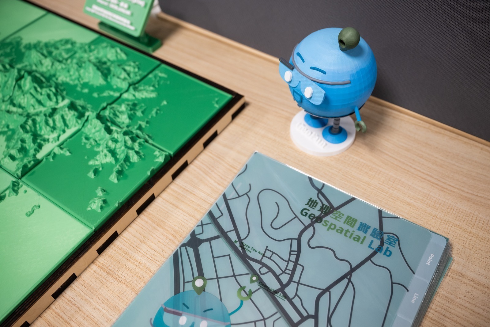
To better promote the application of spatial data, DEVB established the GeoLab in Kwun Tong in 2021. Workshops and talks, such as “Introduction to Artificial Intelligence (AI) and Machine Learning for Smart City Development", “Application of BIM/GIS Integration” and theme talks on “Environment and Health”, were held to encourage the public, start-ups, and the young generation to make use of spatial data in developing smart applications, and to stimulate the development of smart city. Sr. CHAN said that GeoLab offers a place for the young generation to learn about spatial data, despite the impact of Covid-19, GeoLab seizes every opportunity, for example a “STEM Parent-child Workshop” on creating an Interactive Web Mapping Application was held in April 2022 when schools were suspended.

Last Updated: 2024-05-31 19:05:56